Hiking at Plan de Corones/Kronplatz: unique
/
Enquire
Book
Home / Experience / Hiking & mountaineering

Hiking in the Plan de Corones/Kronplatz region: memories that remain

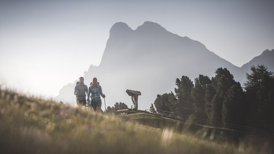
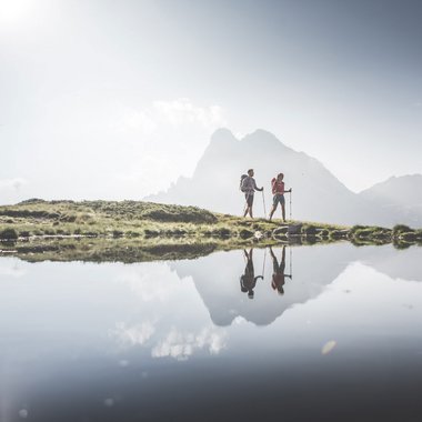
The way to freedom leads into the mountains. While hiking in the Plan de Corones/Kronplatz holiday region you will experience a truly unique feeling of freedom. Step by step, everyday life moves further and further away and with it the stress and hectic pace that often determines our rhythm of life. All that counts are the here and now, while you become one with yourself and with the nature that surrounds our wonderful hiking hotel in Val Pusteria/Pustertal. Follow your own rhythm, discover the many small and big wonders of nature, and experience the unique feeling of standing on top of things while your gaze wanders over the spectacular mountain world while hiking in the Plan de Corones/Kronplatz holiday region.

Hiking at Plan de Corones/Kronplatz: unique
/

Hiking with the power of nature in the Plan de Corones/Kronplatz region

The Dolomites, a UNESCO World Heritage Site since 2009, are silent witnesses to the forces of nature. Every peak, every rock face, every stone reflects the irrepressible power of nature that has shaped this unique region. When hiking in the Plan de Corones/Kronplatz area, no one can escape the magic of the Pale Mountains, which rise up high into the sky directly in front of our hotel in Olang. Thanks to our unique location near the stunningly beautiful Fanes Sennes Prags Nature Park and between the world-famous Dolomites and the Rieserferner Group with its majestic glaciers, our hotel in Val Pusteria/Pustertal is the perfect holiday resort for all those who want to discover the South Tyrolean mountain world in all its facets while hiking in Val Pusteria/Pustertal.
Hiking at Plan de Corones/Kronplatz: unique

Our hiking hotel in Val Pusteria/Pustertal: top service for mountaineers

The mountains have shaped our lives since early childhood. We want to share this passion with you. That is why we take you on 15 hikes and mountain tours a week – and they are sure to stay in your heart forever. Experience the spectacular sunrise on the mountain peak together with senior host Christian, walk with the hiking & activity guides from our hiking hotel on Plan de Corones/Kronplatz in the footsteps of the First World War, climb spectacular mountain peaks together with us and discover mysterious mountain lakes. Day after day, a new adventure in the mountains awaits you as part of our varied weekly programme that makes for lasting memories. As a member of the Wanderhotels you can expect a wide range of hiking offers in the Plan de Corones/Kronplatz region.

“The mountains are mute masters and make silent disciples.”
Johann Wolfgang von Goethe
Download hiking map
Download panorama map

Our tips for hiking at Plan de Corones/Kronplatz and in the Dolomites

Many paths lead into the mountains. We have compiled the most beautiful ones for you. What are you waiting for? Lace up your hiking boots and set off for new horizons and new experiences!

From Passo Furcia/Furkelpass to Lake Hochalp

Walking time: 4 hours
Metres of altitude: 834m

The starting point of this hike is Passo Furcia/Furkelpass, which you can easily reach by car from our hotel in Olang. It is one of the most beautiful tours for hiking near Plan de Corones/Kronplatz. The hiking trail branches off to the left of the road. Follow mark 3 up to Dreifingerscharte, which is located between Piz da Peres and Punta Tre Dita/Dreifingerspitze. Then descend to Lake Hochalpsee and hike further north to the Lapeduresscharte (2,252m). From the saddle, take the trail marked 32 to the hunters' hut and from there back to Passo Furcia/Furkelpass.

From Oberolang to the Brunstalm pasture

Walking time: 4 hours
Metres of altitude: 741m

Hiking in Val Pusteria/Pustertal is full of variety. Our next tip leads you through quiet, shady forests up to the idyllic Brunstalm pasture. The tour begins above Oberolang, where you can park in the small car park below the Riedlerhöfe farms. Cross the bridge (barriers) over the Brunstbach stream (1,150m) and follow the signposted forest path to the Brunstalm. From there you can admire the Plan de Corones/Kronplatz and the Olang Dolomites in all their beauty after your hike. Return back home on the old Brunststeig path no. 20, which offers views of the Olang valley basin, the Rieserferner Group, and the Zillertal Alps at several points.

To Col Vallaccia/Flatschkofel in the Olang Dolomites

Walking time: 5 hours
Metres of altitude: 1,073m

Climbing and hiking near Plan de Corones/Kronplatz leads you into the realm of the Dolomites, as does this tour on the Col Vallaccia/Flatschkofel. From Bad Bergfall (1,320m) follow the trail no. 32 to the Jäger hut (1,900m) in Olang and then continue on to the Forcella Col Vallaccia/Lapeduresscharte (2,210m), which is located in the middle of an impressive mountain landscape. Once there, head east on trail no. 6 up to the summit of Col Vallaccia/Flatschkofel (2,416m). This view will stay in your heart forever. The impressive Dolomite peaks spread out to the south, and the majestic glaciers of the main Alpine ridge to the north. The way back leads you via trail no. 6 to the Forcella Col Vallaccia/Flatschkofelscharte (2,223m) and on to the Lanzwiesenalm pasture (1,823m). Continue along path no. 6 B, which will take you back to the starting point.

To the Lanzwiesenalm pasture in Olang

Walking time: 4 hours
Metres of altitude: 813m

Hike at the foot of Plan de Corones/Kronplatz first through Mitterolang and then through meadows and woods to the Angerer-Alm pasture (1,300m). From here the path no. 6 leads up to the Lanzwiesenalm pasture (1,823m). The pasture is farmed in summer. You can either return to Bad Bergfall and then to Olang by following the path marked no. 6 B or take the forest road to the Voppichlhof farm in Mitterolang.

Hike to the Kumpflalm pasture in Antholz

Walking time: 1 hour
Metres of altitude: 395m

How about a leisurely hike in the Plan de Corones/Kronplatz region? Here’s our tip: From the sports zone in Antholz-Mittertal at the end of the village you first walk to the Eggerhöfe farms. There, the path turns left and leads you to the beautiful, rustic Kumpfleralm pasture, which is farmed in summer.

Lake Antholz in the Rieserferner Group

Walking time: 1 hour
Metres of altitude: 90m

A real jewel of nature: Lake Antholz, which lies at the end of Valle di Anterselva/Antholzertal in the middle of the Rieserferner Ahrn Nature Park. The blue-green lake, with its 44 hectares, is the third largest lake in South Tyrol and 35 metres deep. A newly laid out nature discovery trail leads around the mountain lake, which is also the starting point for many other hiking tours in the Plan de Corones/Kronplatz holiday region, such as the hikes to the Croda Rossa/Rotwand, the Almerhorn, the Barmerhütte hut, or the Steinzeralm pasture.

To Monte Luta/Lutterkopf above Taisten

Walking time: 3 ½ hours
Metres of altitude: 651m

Monte Luta/Lutterkopf is a great vantage point. During the hike you overlook Val Pusteria/Pustertal and the bizarre peaks of the Dolomites. The magnificent Alpine rose blossom delights your eyes when hiking in the Plan de Corones/Kronplatz area in early summer. Park your car at the Mudler Hof farm (1,584m) and walk to the fork in the path, where you turn left and follow the marking no. 31 that leads up to Monta Luta/Lutterkopf (2,145m). From Monta Luta/Lutterkopf you walk on the flat, long ridge (approx. 2,150m) and return to the farmed Taistner Alm pasture (1,992 m; refreshment stop). From the Taistner Alm pasture, follow path no. 38 A, which takes you back to the Mudler Hof farm.

Lago Nero/Schwarzsee in Val Casies/Gsiesertal

Total walking time: 4 hours
Metres of altitude: 1,074m

From St. Magdalena/Gsies (hut at the valley head 1,465m; large car park and refreshment area) path no. 12 leads you right over the Talbach stream, then through the Pfoital valley to the Pfoialm pasture (2,134m). The trail continues through the Almtal valley to the fork in the path. Now follow path no. 13 which leads you up to the Hintere Gsieser Lenke (2,539m) and finally, in a few minutes, down to the lake (2,455m). The tour is easy and rewarding for experienced mountain hikers.

Gsieser Almweg 2000

Total walking time: 5 hours
Metres of altitude: 892m

The journey is the reward – that’s the motto when hiking in the Plan de Corones/Kronplatz holiday region. Especially on the Gsieser Almweg 2000, which runs at 2.000 metres above sea level and from one alpine pasture to the next. The round tour is easy and very rewarding for those used to hiking. From St. Magdalena/Gsies follow trail 48 up to the Tscharnietalm pasture (1,976m). From there, follow the high trail to Kasermähder Alm pasture (2,048m), continue to the Gipfelalm pasture (2,104m), and then either to the Stumpf Alm pasture (2.003m, refreshment stop) or to the Kaser Alm pasture (2,076m; refreshment stop). From the Kaser Alm pasture the marked path leads you into the beautiful Pfoital valley, to a bridge over a stream, and then very slightly uphill to the Uwaldalm pasture (2,042m; refreshment stop). The descent leads from the Uwaldalm pasture along the forest path back to the starting point.

In the Realm of Fanes

Walking time: 2 ½ hours
Metres of altitude: 700m

If you come to the Plan de Corones/Kronplatz holiday region for hiking, you should definitely make a detour to the Fanes' kingdom, where Dolasilla, the wise warrior in the Kingdom of the Pale Mountains once lived. From the shelter Pederü near San Vigilio in Enneberg, path no. 7 leads you past mighty rock faces to the Fanesalm pastures (2,104m) or to the Lavarella hut, which is close to the Parliament of Marmots. If you still feel like walking on, you can climb from the Fanes hut to green Lake Limo, which is framed by the impressive Dolomite peaks.

Toblach’s Corno di Fana/Pfannhorn

Walking time: 3 hours
Metres of altitude: 1,062m

Starting point is Kandellen, a small hamlet in Toblach. After the barrier, take a wide farm track over the Golfenbach stream and then turn right. Follow the path until the actual mountain path branches off on the left. In hairpin bends the path first climbs up to the Bonnerhütte refreshment stop and then continues to the summit cross at 2,663m. The descent to the starting point is via trail no. 25 or via the Bergalm pasture (no. 25 A).

Hiking around the legendary Three Peaks

Walking time: 3 hours
Metres of altitude: 439m

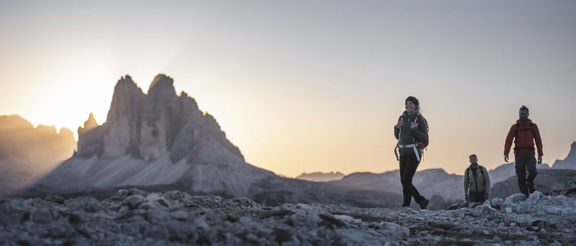
What would a holiday in the Plan de Corones/Kronplatz holiday region be without a hike around the legendary Three Peaks? From the Auronzo hut on the south side of the Three Peaks, follow path no. 101, which takes you past the Lavaredo hut (2,344m) to the Paternsattel (2,454m). The sight of the steep, 500-metre-high north face will captivate you. After a short rest, the slightly descending path below Monte Paterno/Paternkofel leads you to a fork in the path. Here you have the choice of either climbing up to the Three Peaks hut (2,405m) or continuing on the left along path no. 105 past the Lange Alpe alpine pasture and the Lang Alp lake, thus avoiding the Three Peaks on the west side.

From Prato Piazza/Plätzwiese to the Dürrenstein hut

Walking time: 40 minutes
Metres of altitude: 118m

Hiking near the Plan de Corones/Kronplatz can be so beautiful! For example, in the Prags Dolomites. One of many easy hikes takes you to Prato Piazza/Plätzweise, one of the most beautiful high plateaus in South Tyrol in the middle of the Fanes Sennes Prags Nature Park. From the Prato Piazza/Plätzwiese car park you can walk up to the mountain inn of the same name and via path no. 37 – lined with beautiful, lush green alpine meadows – to the Dürrenstein hut (2,040m). Always in view: the magnificent peaks of Croda Rossa d’Ampezzo/Hohe Gaisl, Three Peaks, Tofana, and Monte Cristallo.

Hike to Taufers Castle

Walking time: 1 hour
Metres of altitude: 108m

Hiking in the Plan de Corones/Kronplatz holiday region is a journey into the past. Short and worthwhile is a hike to the Taufers Castle, one of the most impressive and interesting castles in South Tyrol. Walk through Sand in Taufers (878m) to the covered castle bridge, then turn right past the Mount of Olives, cross the oldest part of the village, and after a left turn up walk to the castle cross chapel with the impressive crucifix. From the chapel a serpentine path leads up to the well-preserved Taufers Castle. Behind the Schlosskreuz Chapel a road turns right up to the castle, which can be reached in a short time (950m). Recommended descent: From the castle on the flat path eastwards to the castle café and the Bruggenol farm, from where the path leads you down to the hamlet of St. Moritzen and back to the starting point.

There is so much to discover in our hiking hotel in Olang